AGRICULTURE

NEW TOOLS, BETTER RESULTS

Drones in agriculture are a new and valuable asset for agrarians. Because of this EmpowerUAV uses drones to gather valuable field data using aerial photography.  After collection, the drone-captured data is used to identify potential problem areas. Subsequently the data is used to create a personalized precision agriculture program–all thanks to drones.

SUPERIOR DATA COLLECTION

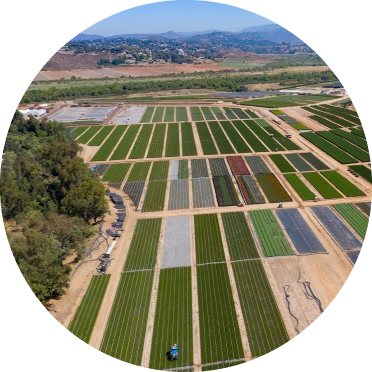
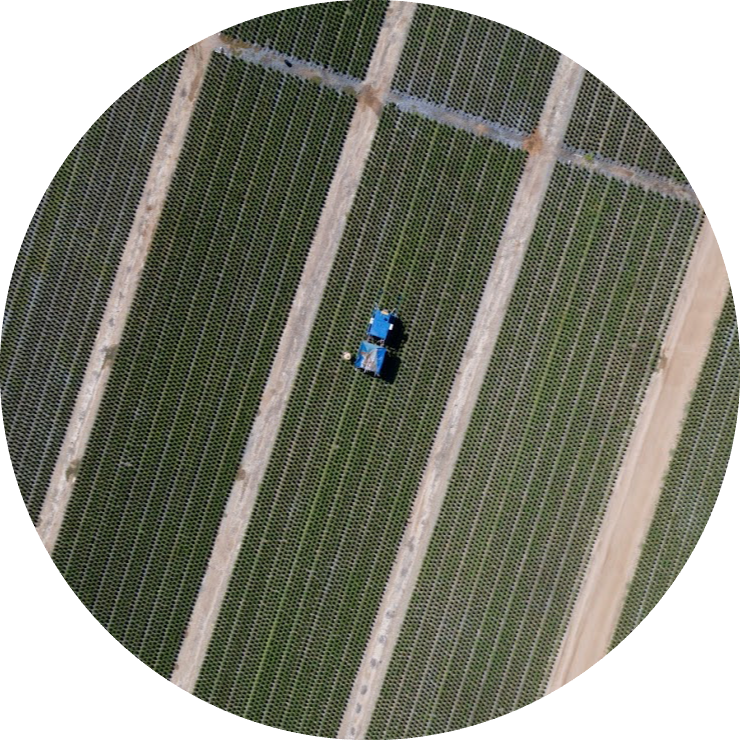
Our drones are the backbone of our precision agriculture program.  For example, with them we perform scouting, drought assessment, yield monitoring, NDVI mapping, and irrigation issue identification.  EmpowerUAV streamlines drone data collection with other precision agriculture data collection methods, giving the farmer an even better picture of crop health.
mapping local farm
agriculture service

NDVI MAPPING

The main component of our drone based precision agriculture program is NDVI map creation.  To clarify, NDVI, or Normal Difference Vegetative Index, maps give invaluable insight into underlying issues that cannot be seen by the naked eye.  Please contact us for a free consultation to find out how NDVI can benefits your agriculture program.